
Bo Phloi Fm
Type Locality and Naming
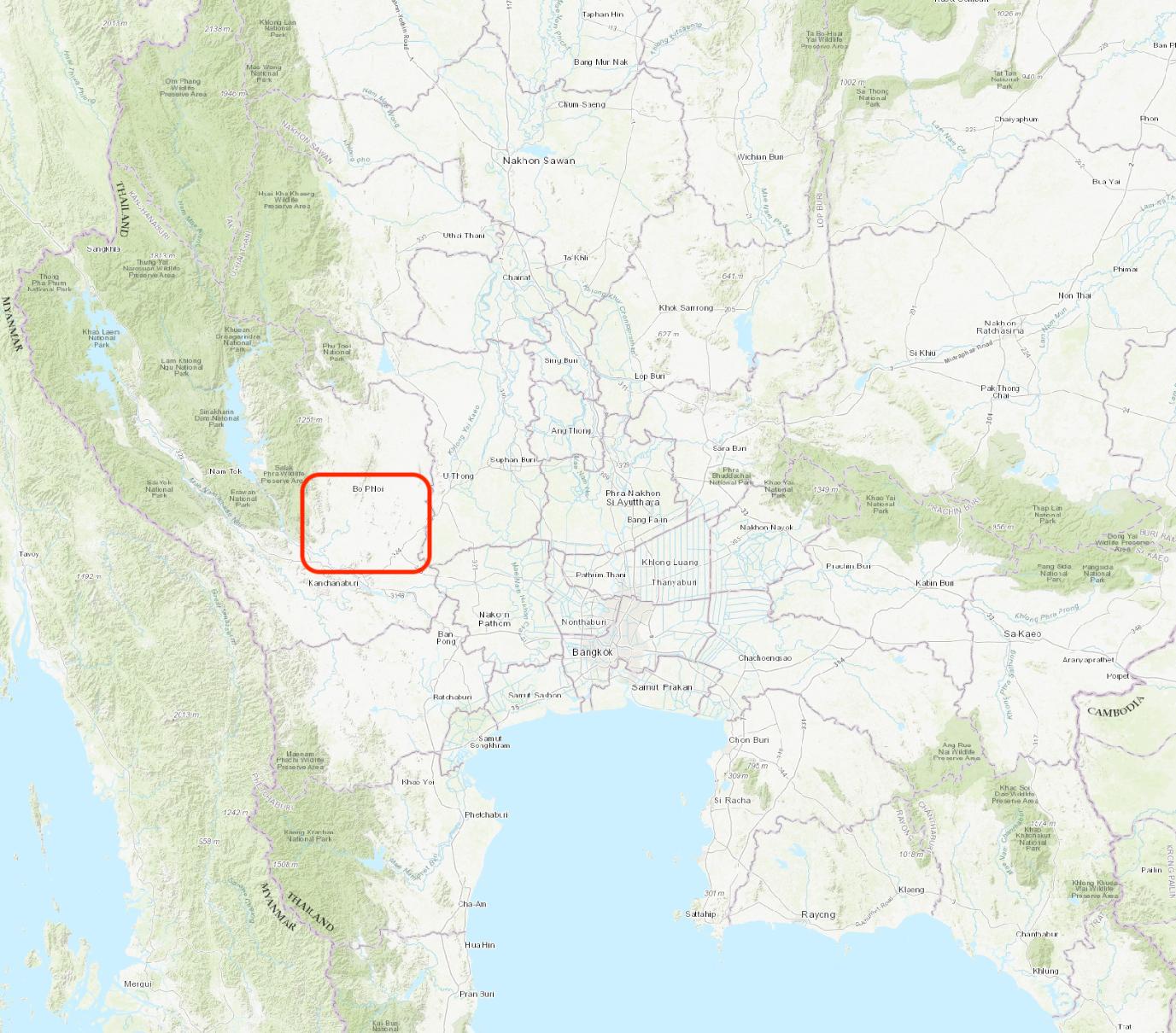
"On the edge of the Central Plain, Khao Ka and Khao Yai, two isolated hills 10 km southeast of Bo Phloi district, about 25 km north of Kanchanaburi city expose the type section of what Bunopas (1981) calls his Bo Phloi Formation. .. Toward the top of the type section are tentaculite-bearing shales which suggest a correlation with the lower part of the Thong Pha Phum Gr." (Ridd, 2011)
Synonym: หมวดหินบ่อพลอย;
Lithology and Thickness
This succession of quartzite, shale, chert, tuff, phyllite and thin limestones has a total thickness of about 350 m. The Bo Phloi Formation correlates to Units F and G of Hagen and Kemper (1976); therefore an upward succession of:
F (lower unit) = Clayey, sandy, marly sequence c. 20 m thick, overlain by a sandy black shale 120–125 m thick with well-developed cleavage.
G (upper unit) = About 20 m of dark-grey calcareous siltstone passing up into medium-grey sandy flaser limestone with bituminous clay laminae, and then light-colored, commonly variegated flaser limestone. (Ridd, 2011)
Relationships and Distribution
Lower contact
Overlies the Chao Nin Gr (Tha Manao Limestone Fm)
Upper contact
Unconformity. Regionally, the next younger units are earliest-Carboniferous limestone (unnamed); then the Permian begins with the Pharaka Fm (among other regional names for coeval units in the same Western Region)
Regional extent
Kanchanaburi region; uncertain extent.
GeoJSON
Fossils
F (lower unit) =. About 30 m above the base of the black shale is a layer C. 5 m thick containing Lower and Middle Llandovery (Silurian) graptolites.
G (upper unit) = Upper Silurian conodonts at the base.
Age
Depositional setting
It is thought to be derived from a volcanic arc, probably a short distance to the east (according to Lexicon of Stratigraphic Names of Thailand, 2013).
Additional Information
"The Lower Paleozoic limestones of Western Thailand are a common host-rock for lead-zinc mineralization. A study of these deposits in Kanchanaburi Province by Diehl & Kern (1981) showed that mineralization took place preferentially in algal- crinoidal reef-like build-ups in the limestone." (Ridd, 2011)
Lexicon of Stratigraphic Names of Thailand of 2013.